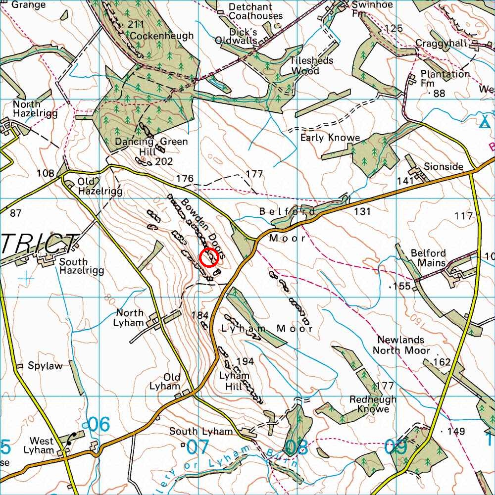
Bowden Doors
OS map Google map Back to all directions
Map Ref         NU 073 322 (Landranger 75)
Lat/Long        55.583528, -1.885361
Distance        74 miles; 1 hour, 25 mins     (from the centre of Edinburgh)
Head down the A1, and turn off the A1 into Belford and then head along the B6349 in the direction of Wooler. Continue for 3 miles, keeping left where the road forks at 2.5 miles. Continue for 400 yards after the fork until just over the brow of the hill. The S end of the crag is just visible 100 m N of the road.